It has been a busy summer at the UO, with multiple construction projects underway. The Knight Campus for Accelerating Scientific Impact is under construction on the north side of Franklin Boulevard, the renovation of Bean Hall on east 15th Street is in progress, and the long-awaited reconstruction of Hayward Field on Agate Street has begun. Excavation of the Hayward Field site is currently taking place, which means heavier than usual traffic as trucks hauling material from the site move in and out of the area.
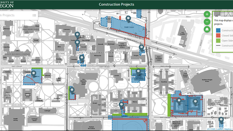
Navigating the multiple construction projects on campus can be a daunting task. To help, the UO Campus GIS and Mapping program has made available an easy to read, comprehensive and interactive map. The map features real-time updates on construction and renovation projects happening on and around campus, including construction-specific traffic routes and which sidewalks are open.
Each location on the map includes relevant links regarding project details and planned completion dates. Using this map, residents and neighbors of the UO campus can plan their daily route to best avoid construction traffic and stay updated on the exciting changes around them.
To track the individual projects, see the Knight Campus website or the Hayward Field project page.